
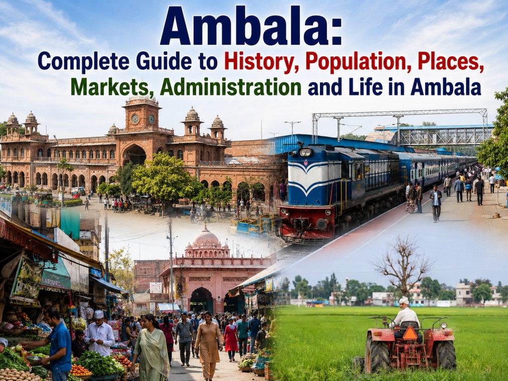

Ambala is one of Haryana’s most historically significant and strategically important districts. Located in the northern part of the state, Ambala has developed as a unique combination of history, military heritage, agriculture, trade, education, transportation and modern urban life.
From Ambala City and Ambala Cantonment to Barara, Saha, Mullana, Shahzadpur and Naraingarh, the district has a diverse geographical and cultural identity. It is also known for its historical connections, military importance, railway network, markets, educational institutions and proximity to Chandigarh, Panchkula, Punjab and Himachal Pradesh.
If you are searching for Ambala history, Ambala population, Ambala district information, Ambala City, Ambala Cantt, famous places in Ambala, Ambala markets, Ambala villages, Ambala blocks, Ambala tehsils or things to know about Ambala, this guide brings the major information together in one place.
Ambala at a Glance
According to the latest information published by the District Administration Ambala, the district covers 1,569 square kilometres and has a population of 1,128,350. The official literacy rate is 87.46%. Ambala currently has 4 sub-divisions, 4 municipalities, 4 tehsils, 3 sub-tehsils, 6 blocks and 499 villages listed on the district’s demography page.
| Ambala District Fact | Details |
|---|---|
| Area | 1,569 sq km |
| Population | 1,128,350 |
| Literacy Rate | 87.46% |
| Sub-Divisions | 4 |
| Municipalities | 4 |
| Tehsils | 4 |
| Sub-Tehsils | 3 |
| Blocks | 6 |
| Villages | 499 |
Important: Population figures from the official district profile should not be confused with a new Census count. The Government of India’s Census portal provides Ambala’s detailed 2011 Primary Census Abstract data at town, village and ward level.
Where Is Ambala Located?
Ambala is situated in the northern part of Haryana and has an important location because of its connectivity with several major northern Indian regions.
The district’s location has historically contributed to its importance as a centre for transportation, administration, trade and military activity.
Its geographical position also makes Ambala an important gateway for people travelling between Haryana, Punjab, Chandigarh and areas toward Himachal Pradesh.
This location is one of the reasons why Ambala railway connectivity, Ambala Cantt and road transportation have played such an important role in the district’s development.
History of Ambala
Ambala has a long and complex history that goes far beyond the modern city.
According to the District Administration, archaeological and historical evidence connects the region with several important periods of Indian history. Evidence includes prehistoric stone tools, late Harappan material, Painted Grey Ware, coins and archaeological remains associated with different ruling periods.
The official district history records connections with the Mauryan period, Kushan period and other major political powers that controlled northern India over different centuries. The region also became associated with the political and religious developments of the medieval period.
Ambala During the Medieval Period
During the medieval era, the region experienced changing political control and conflicts involving different kingdoms and ruling powers.
The official history of Ambala mentions the area’s association with the Delhi Sultanate and later Mughal political structures. The region also experienced the rise of Sikh power and the political instability that affected much of northern India during the 18th century.
Ambala and the British Period
Ambala became particularly important during British rule.
The British developed Ambala as an important administrative and military centre. The establishment and growth of Ambala Cantonment contributed significantly to the district’s identity.
The political importance of Ambala increased as the British expanded their control over territories around the Sutlej and Yamuna regions.
The district administration’s historical account also documents the participation of people from Ambala in political movements during India’s freedom struggle.
Ambala and India’s Freedom Movement
Ambala was not isolated from the major political movements of the early 20th century.
The district witnessed participation in movements associated with the Indian National Congress, Non-Cooperation Movement, Civil Disobedience Movement and other nationalist activities.
The official history records a large procession in Ambala during the Civil Disobedience Movement in 1930 and describes participation in Swadeshi and other nationalist activities.
This history gives Ambala an important place in the story of northern India’s contribution to India’s freedom movement.
Ambala City and Ambala Cantonment
One of the most important things to understand about Ambala is that Ambala City and Ambala Cantonment are distinct urban areas with different historical identities.
Ambala City
Ambala City is a major commercial and residential centre.
The city is known for its markets, businesses, educational institutions, healthcare facilities, residential areas and everyday urban activity.
For many residents of the surrounding district, Ambala City functions as an important centre for shopping, services and business.
Ambala Cantonment
Ambala Cantonment has a strongly military and colonial-era identity.
Its development is closely connected with the British military presence in the region. Even today, the cantonment remains one of the most recognizable parts of Ambala.
Ambala Cantt is also an important transportation point because of its railway connectivity and strategic location.
Administrative Structure of Ambala
The current administrative structure of Ambala includes 4 sub-divisions:
- Ambala
- Ambala Cantt
- Barara
- Naraingarh
The district has 6 blocks:
- Ambala
- Ambala Cantt
- Saha
- Barara
- Shahzadpur
- Naraingarh
The official district administration page lists 7 tehsil/sub-tehsil units: Ambala, Ambala Cantt, Saha, Barara, Mullana, Naraingarh and Shahzadpur.
Tehsils and Sub-Tehsils of Ambala
For administrative purposes, Ambala is divided into the following units:
- Ambala
- Ambala Cantt
- Barara
- Naraingarh
- Saha
- Mullana
- Shahzadpur
The district administration separately identifies four tehsils and three sub-tehsils in its administrative structure.
Blocks in Ambala District
Ambala district has six blocks:
1. Ambala Block
Ambala block covers villages and areas surrounding the main Ambala urban region.
2. Ambala Cantt Block
This block is associated with areas around Ambala Cantonment and surrounding villages.
3. Saha Block
Saha is an important administrative and industrial area of Ambala district.
4. Barara Block
Barara is located in the eastern part of the district and serves as an important local administrative and commercial centre.
5. Shahzadpur Block
Shahzadpur is one of Ambala’s administrative blocks and is also listed as a sub-tehsil.
6. Naraingarh Block
Naraingarh is an important town and administrative centre in the southern/eastern part of the district.
The official district administration currently lists these six blocks.
Villages in Ambala District
Ambala is not only an urban district. Its rural landscape is an important part of its identity.
The district administration’s demography page lists 499 villages, while individual administrative pages provide detailed village-level information.
The administrative setup page provides village counts by tehsil, including:
| Administrative Unit | Villages Listed |
| Ambala | 129 |
| Ambala Cantt | 59 |
| Naraingarh | 114 |
| Barara | 50 |
| Shahzadpur | 59 |
| Mullana | 42 |
| Saha | 46 |
These figures come from the district administration’s administrative setup page.
Population of Ambala
Population is one of the most searched pieces of information about any district.
The Ambala district administration currently lists the district population as 1,128,350.
For historical Census-level information, the Government of India’s Census portal provides detailed Ambala district data from the 2011 Census, including population by total, male and female categories and data at town, village and ward level.
This distinction is important because a website should not present an old Census figure as if it were a current population count.
Literacy Rate of Ambala
Ambala has a reported literacy rate of 87.46% according to the current district demography page.
The relatively high literacy figure reflects the district’s established educational ecosystem and its urban as well as rural institutions.
Education has become an important part of Ambala’s modern identity, with students travelling to the district from surrounding areas for schools, colleges, professional education and other training.
Ambala’s Economy
Ambala has a mixed economic profile.
The district administration describes Ambala as an agricultural and industrial district. Agriculture, trade, manufacturing, services and transportation all contribute to the district’s economy.
Wheat and Basmati are among the agricultural products associated with the region.
At the same time, Ambala’s urban centres have developed strong commercial and service economies.
Agriculture
The rural parts of Ambala contribute significantly to agriculture.
Farming communities in the district are involved in cultivation and related activities, while agricultural markets connect rural production with urban consumers and traders.
Trade and Business
Ambala’s location has historically supported trade.
Its markets serve not only local residents but also customers from nearby towns and villages.
Industrial Development
Industrial and commercial activity is another important part of Ambala’s economy, particularly around areas such as Saha and other industrial zones.
Famous Markets in Ambala
Ambala is widely known for its shopping culture.
Different parts of the district offer markets catering to clothing, household products, electronics, food, jewellery, daily-use goods and other categories.
Ambala Cloth Market
Ambala’s cloth market is one of the city’s recognizable commercial areas and attracts shoppers from surrounding regions.
Sadar Bazaar
Sadar Bazaar in Ambala Cantt represents the traditional commercial character of the cantonment area.
Local Markets
Apart from the major markets, neighbourhood markets across Ambala City and Ambala Cantt provide everyday shopping options for residents.
A future AmbalaStory guide can cover each market separately with location, history, opening hours, major shops, parking information, nearby landmarks and what the market is famous for.
Places to Visit in Ambala
Ambala’s attractions include historical, religious, cultural and architectural places.
Some places and themes worth exploring include:
- Ambala Cantonment heritage areas
- Historical sites
- Religious places
- Churches
- Gurudwaras
- Temples
- Local markets
- Old city areas
- Nearby heritage locations
Ambala’s history page itself highlights archaeological and historical references connected with the region, making heritage one of the strongest content opportunities for Ambala-focused publishing.
Religious and Cultural Life in Ambala
Ambala has a diverse religious and cultural landscape.
Temples, gurudwaras, churches and other religious institutions form an important part of local life.
Festivals and community events bring together residents from different parts of the district.
For AmbalaStory, this is an important content category because individual religious and heritage locations can each have their own detailed, useful guide.
Ambala Railway Connectivity
Ambala’s location has made rail transportation an important part of its identity.
Ambala Cantt railway station is particularly significant because of the city’s position on major railway routes in northern India.
For residents and travellers, railway connectivity makes Ambala an important transit point.
This also creates several useful search topics such as:
- Ambala Cantt railway station guide
- Ambala railway station history
- Trains from Ambala
- Ambala to Chandigarh train
- Ambala to Delhi train
- Ambala to Amritsar train
- Ambala railway station facilities
These should be developed as separate updated articles rather than stuffing every railway keyword into one page.
Ambala Road Connectivity
Ambala also has strong road connectivity with nearby cities and states.
Its geographical position makes it useful for journeys toward Chandigarh, Panchkula, Punjab, Delhi and Himachal Pradesh.
For travellers, the city often acts as an important connection point between different parts of northern India.
Ambala and Education
Education is another major part of Ambala’s identity.
The district has schools, colleges, technical institutions, professional institutes and training centres.
Students from surrounding rural areas and neighbouring districts also contribute to the educational ecosystem.
Future AmbalaStory content can create dedicated guides for:
- Best schools in Ambala
- Colleges in Ambala
- Engineering colleges in Ambala
- Coaching centres in Ambala
- Digital marketing courses in Ambala
- IELTS institutes in Ambala
- Government schools in Ambala
- Universities near Ambala
Each article should be independently researched and updated.
Healthcare in Ambala
Ambala has healthcare facilities serving both urban and rural residents.
Hospitals, clinics, diagnostic centres, pharmacies and specialist healthcare providers form an important part of the local service economy.
For health-related local content, AmbalaStory should focus on factual information such as services, locations, contact details and official information rather than making unsupported medical claims.
Why Is Ambala Important?
Ambala’s importance comes from several factors working together.
History: The region has archaeological and historical significance.
Military importance: Ambala Cantonment has played a major role in the district’s development.
Connectivity: Ambala is strategically positioned within northern India’s transportation network.
Agriculture: Rural Ambala has a strong agricultural base.
Business: Markets and commercial activity attract customers from surrounding areas.
Education: Educational institutions contribute to the district’s service economy.
Culture: Religious, historical and community traditions remain important to local identity.
Ambala’s Identity: More Than Just a City
When people search for Ambala, they may be referring to very different things.
Someone may want to know about Ambala City.
Another person may be searching for Ambala Cantt.
A student may be looking for colleges.
A traveller may be searching for places to visit.
A shopper may want information about markets.
A researcher may want Ambala’s history.
A resident may want information about villages, blocks or government services.
This is exactly why Ambala needs a comprehensive information platform rather than a website focused on only one type of content.
Frequently Asked Questions About Ambala
What is Ambala famous for?
Ambala is known for its history, Ambala Cantonment, markets, transportation connectivity, agriculture, industry and educational institutions.
What is the population of Ambala?
The Ambala district administration currently lists the population as 1,128,350.
What is the area of Ambala district?
The official district demography page lists Ambala’s area as 1,569 square kilometres.
What is the literacy rate of Ambala?
The current district administration page lists the literacy rate at 87.46%.
How many blocks are there in Ambala?
Ambala district has 6 blocks: Ambala, Ambala Cantt, Saha, Barara, Shahzadpur and Naraingarh.
How many tehsils and sub-tehsils are there in Ambala?
The district has 4 tehsils and 3 sub-tehsils. The seven administrative units listed by the district are Ambala, Ambala Cantt, Saha, Mullana, Barara, Shahzadpur and Naraingarh.
How many villages are there in Ambala?
The current district demography page lists 499 villages.
What are the main areas of Ambala?
Important urban and administrative areas include Ambala City, Ambala Cantonment, Barara and Naraingarh, along with Saha, Mullana and Shahzadpur.
Why is Ambala historically important?
Ambala has archaeological evidence and historical associations spanning multiple periods, while its later political and military importance grew considerably during the medieval and British periods.
Final Word
Ambala is a district where history and modern life exist side by side.
Its ancient archaeological connections, British-era heritage, military importance, railway connectivity, agricultural landscape, markets, educational institutions and growing urban economy make it one of Haryana’s distinctive districts.
But Ambala cannot be understood through one number or one landmark.
To understand Ambala properly, you need to explore its cities, cantonment, villages, markets, history, people, institutions, food, businesses, festivals and everyday life.
That is what makes Ambala worth documenting—and that is where a dedicated local platform can become genuinely useful.
AmbalaStory aims to build that local information layer: one place for people to discover Ambala, understand its past and find useful information about its present.
Data Sources
- District Administration Ambala — Demography
- District Administration Ambala — Administrative Setup
- District Administration Ambala — History
- District Administration Ambala — Blocks, Tehsils and Sub-Divisions
- Office of the Registrar General & Census Commissioner, India — Census 2011
Data note: Administrative figures can change. This article uses the latest information available on the relevant official Ambala district pages at the time of research and should be reviewed periodically for updates.